


When we last saw our heroes, they had just arrived at an Appalachian Trail shelter, and were preparing to spend the night with a possibly dangerous maniac.
“I told the VA to go fuck themselves!” he said. My companions and I exchanged worried glances. Perhaps we should just move along, and pitch our tarps a little bit farther down the trail.
Nobody wanted to be a girly-man, and so nobody said anything. When the strange man finished his tirade against the government, he asked us what day it was, and how long we had been hiking. We told him that we had only started hiking this morning. He said that he had been on the trail for about two months.
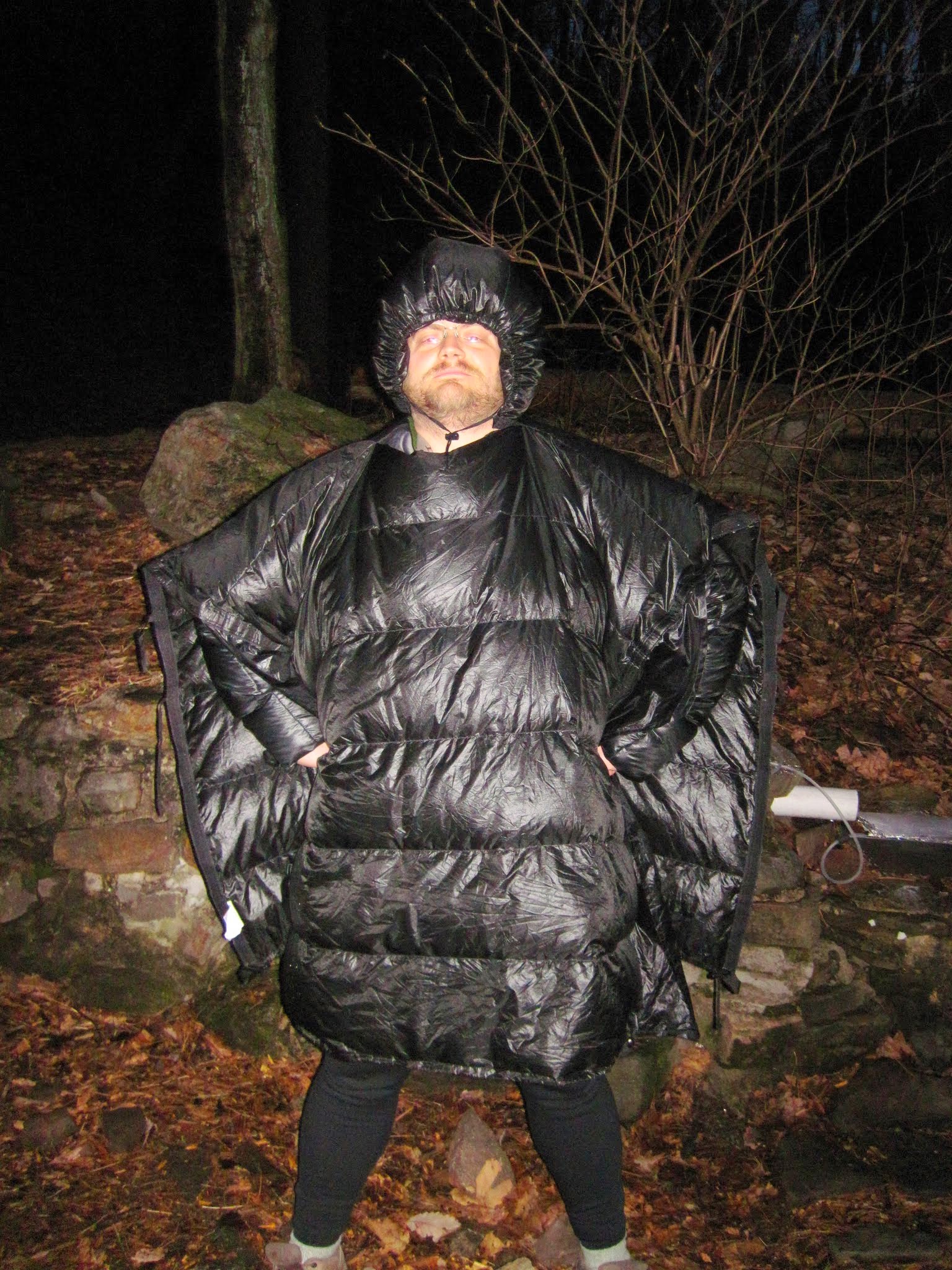
Yours truly, modeling the latest hiker fashions
As we boiled our instant dinners, John (our new eccentric friend) told us that he had thru-hiked the entire AT twice before, and done a sizeable portion of the PCT as well. We had rather less heroic feats to boast of.
Conversation turned to food, the weather, and camping gear; interspersed with incoherent rants about the government and the military-industrial complex.
I found it somewhat unsettling that this man, whose views were extreme to the point of madness, had political opinions not very different from my own.
It started to drizzle after dinner, and so we all went to bed around 8:00.
The snoring in the shelter was unbelievable. After a few hours of tossing and turning, I took my bivy and marched some distance away to try to get some sleep.
Day broke shortly thereafter. We ate our breakfast, topped off our water bottles, and bid adieu to our new friend. He was nice enough to get a group photo of our trio.
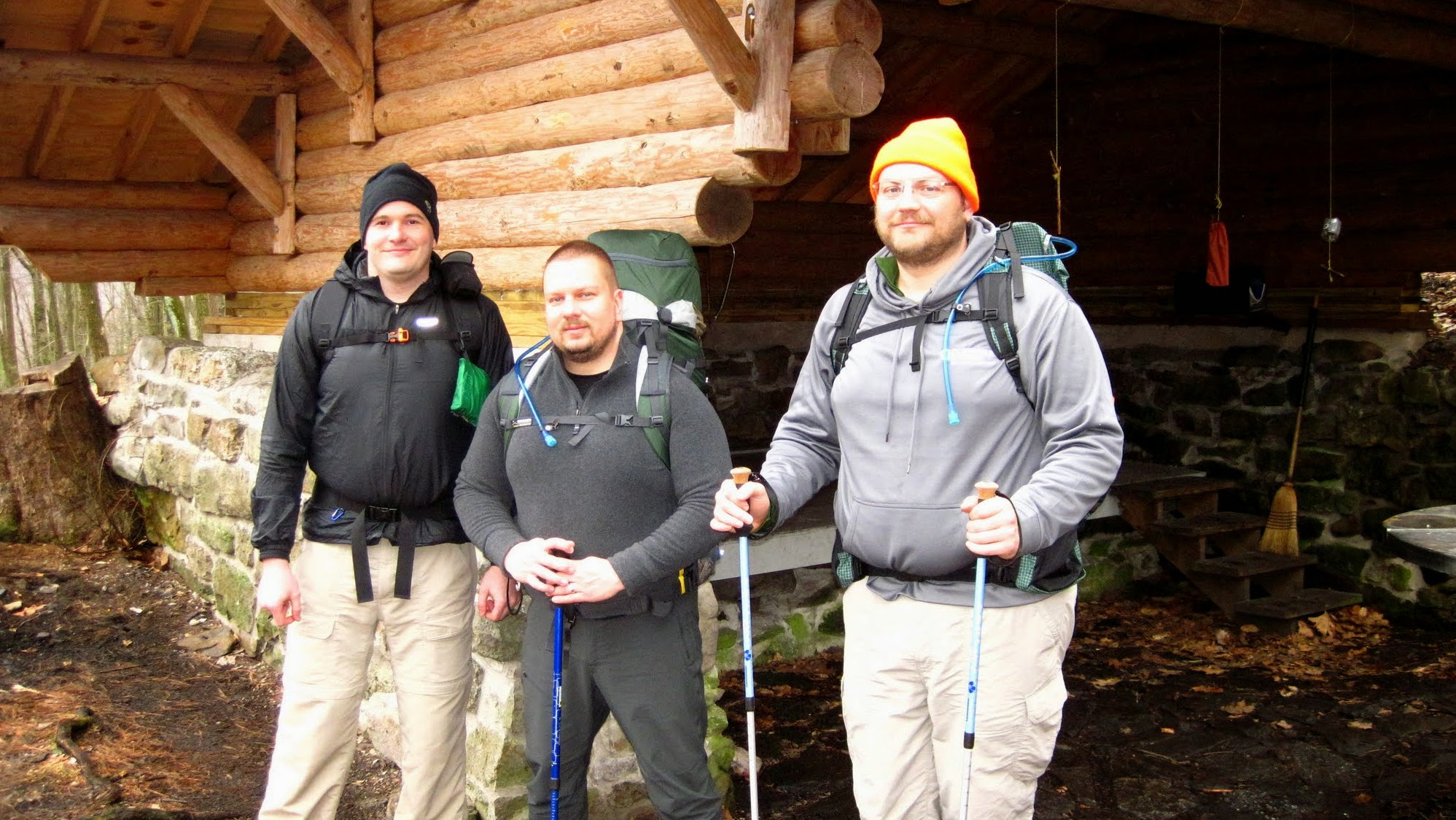
Heading out from the Rausch Gap Shelter.
The skies were gloomy, and it began to drizzle as we climbed Second Mountain. A V of some sort of white geese or swans flew overhead.

A “V” of white geese flew over us near the top of second mountain.
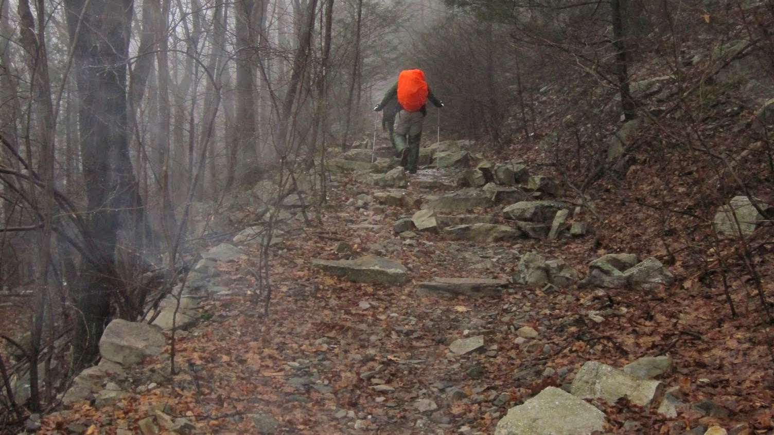
As we neared the Swatara Gap, the trail opened up, and so did the skies.

After the descent into Swatara Gap, the trail opened up a bit
Without trees for cover, we started to get wet. I considered donning my rain gear, but ultimately decided against it. Without it, I would be cold, wet, and miserable. With it, I would be hot, sweaty, wet, and miserable.
Klinutus avoided this conundrum by deploying an umbrella. This looked highly ridiculous, but actually seemed to work pretty well.
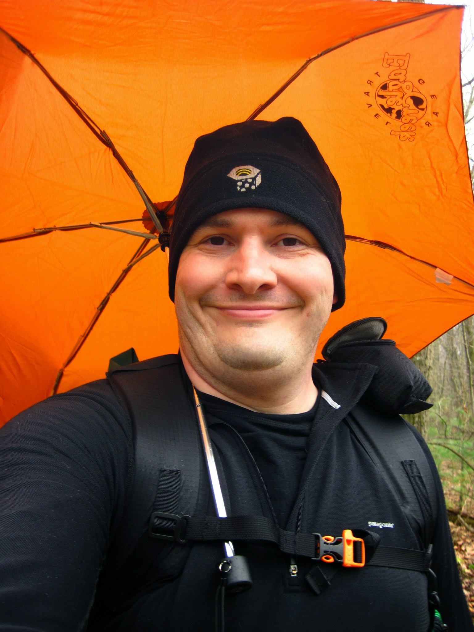
Klinutus with his Backpacking Umbrella
We walked the last few miles down the Swatara Rail Trail into Lickdale, where we feasted on Wendy’s Cheeseburgers and waited for our ride.
Here is the map of our adventure.
[osm_map lat=”40.505″ lon=”-76.589″ zoom=”11″ width=”600″ height=”450″ type=”Ext” gpx_file=”http://blasphemous.bike/wp-content/uploads/2014/03/AT-HIKE.gpx” extmap_address=”http://a.tile.thunderforest.com/outdoors/${z}/${x}/${y}.png” extmap_init=”numZoomLevels: 17, transitionEffect: ‘resize’, sphericalMercator: true” extmap_type=”OSM” extmap_name=”Outdoor”]
Here are some more pictures from day 2.


Note: I’m about a month late in writing up this post. Sorry if the snow in the pictures causes you any emotional distress.
The winter of 2013-2014 was a long, miserable bastard. My friends and I decided that as soon as the weather was even remotely spring-like, we would undertake a backpacking trip. We decided to hike a section of the AT that stymied Klinutus and I once before.
The forecast was for rain. Cold, unrelenting, pouring rain for two solid days. Sensible people would have rescheduled the hike, but we are not sensible people.
From PA 325, the trail goes up.
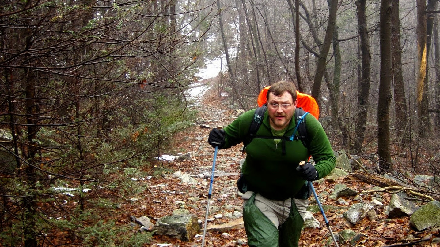
Me, huffing and puffing my way up the mountain.
The hike began with a climb. A long, slow, wet climb from the valley floor.
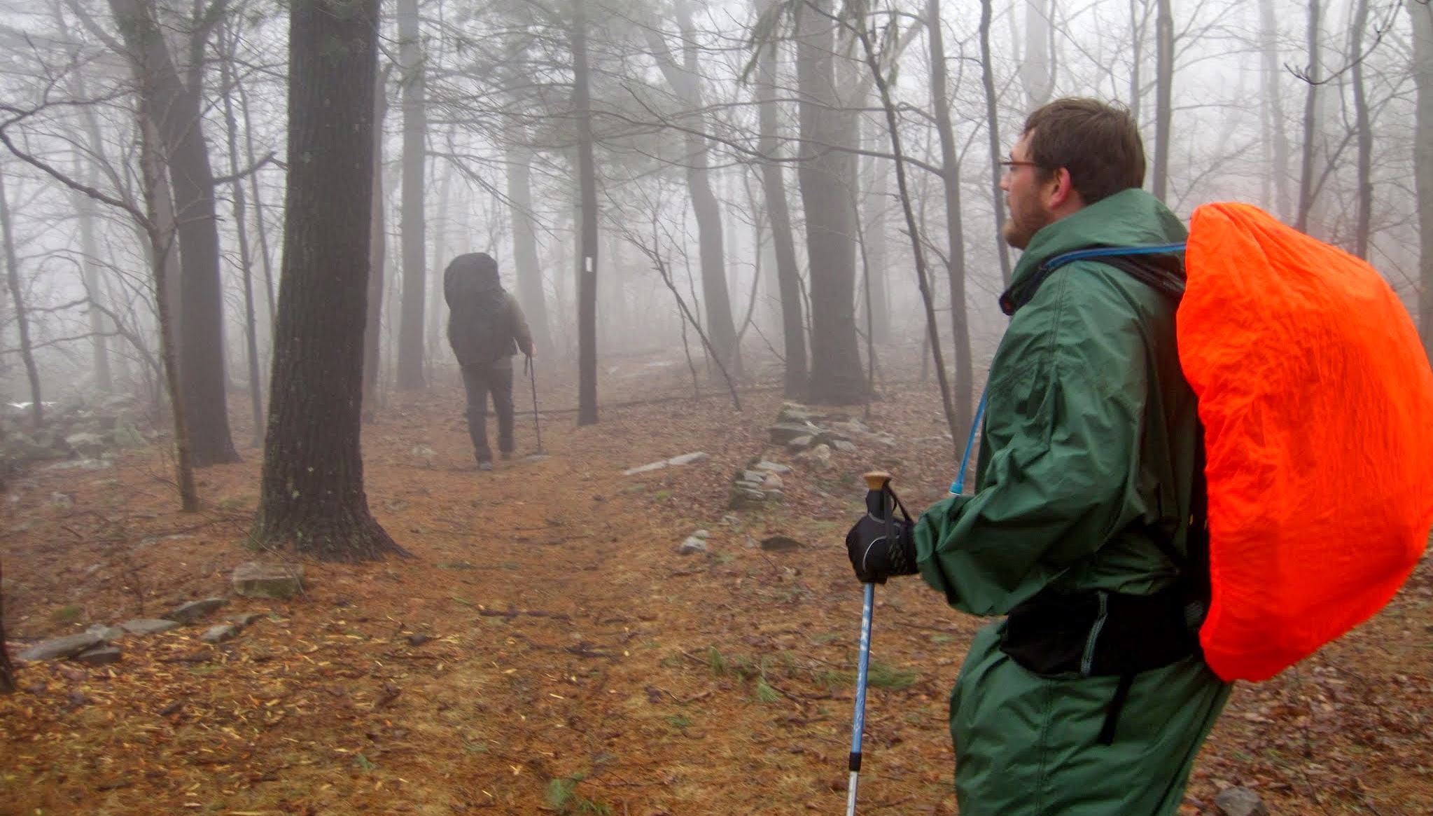
Part way up the climb, we came upon another hiker, who was just starting up from a rest. He was an older man with a gray beard, a wild look in his eye, and what appeared to be military insignia sewed onto his hiking clothes. He glared at us briefly, and then strode briskly up the mountain at nearly twice our speed. His speed was probably to our advantage, because he looked like a crazy person, and we didn’t want to have to share the Rausch Gap Shelter with a lunatic.

Sign near the top of the mountain.
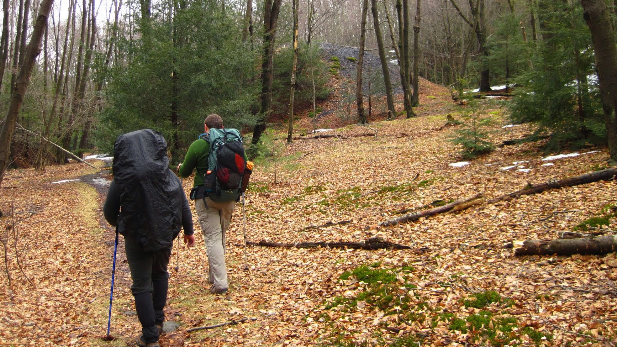
Once we crested the mountain, the rain let up a bit, and we were presented with a pleasantly level walk through the foggy woods. I’m normally only good for about 10 miles of hiking per day. It was 13 miles to the Rausch Gap shelter. We didn’t want to stop and pitch our tarps if we could help it because of the impending monsoon. So, we hiked on. Luckily, the rain held off for the most part, but I was starting to run out of gas over the last three miles.
Descending into Rausch Gap
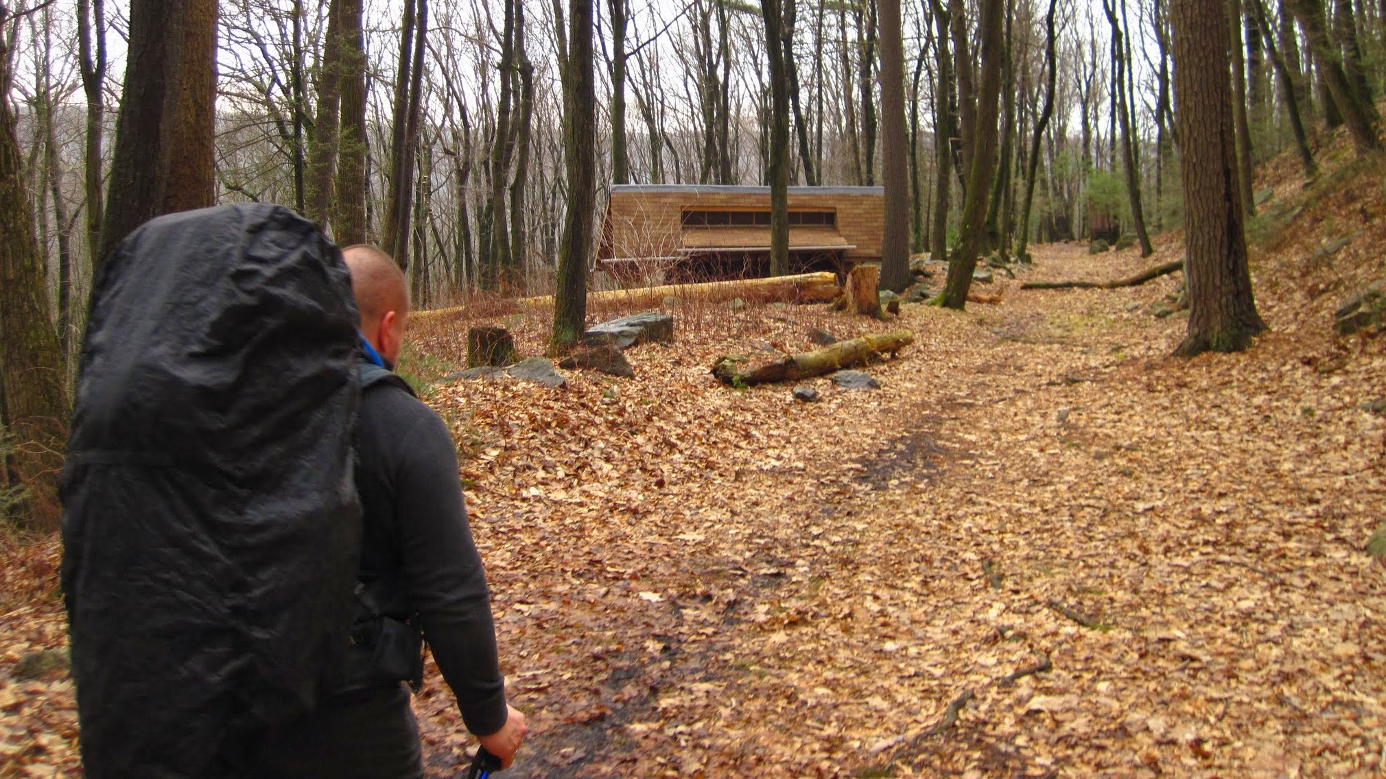
Arriving at the Rausch Gap Shelter.
We were all greatly relieved when the trail finally started to dip into Rausch Gap, not long before sunset. We arrived at the shelter to find an occupied sleeping bag already inside it. Not a problem, these shelters are large enough to hold several hikers.
As we set down our packs, the sleeping bag began to stir, and its occupant emerged; wild-eyed, grey bearded, with military insignia on his chest.
“I told the VA go to fuck themselves,” he said.
To be continued…
Day 1 Pictures:


Day 1 Map:
[osm_map lat=”40.477″ lon=”-76.663″ zoom=”11″ width=”600″ height=”450″ type=”Ext” gpx_file=”http://blasphemous.bike/wp-content/uploads/2014/04/AT-HIKE_DAY-1.gpx” extmap_address=”http://a.tile.thunderforest.com/outdoors/${z}/${x}/${y}.png” extmap_init=”numZoomLevels: 17, transitionEffect: ‘resize’, sphericalMercator: true” extmap_type=”OSM” extmap_name=”Outdoor”]
I spent the past week battling an evil cold / flu thing. I was just starting to feel better Friday, so Saturday, Klinutus and I set out to hike the section of the AT from PA325 to Swatara Gap. The weather was supposed to be warm and pleasant.
The weatherman was somewhat misinformed. We found the trail covered in a sheet of ice. It took us all morning to slip and slide our way to the top of the mountain, and then it started to pour icy rain on us.
The snow started to melt into a steamy, icy fog, and ice-covered tree limbs were crashing to the ground all over the place.

After a bit of calculations, it became obvious that we were not going to make it to Swatara Gap without some night hiking, and I really hate night hiking, especially on ice-covered rocks.
We bagged the hike, and walked back down the mountain. It’s probably a good thing, because I’m sick as a dog again, and I probably would be worse off if I had spent the night under a tarp sleeping on the snow.
Yesterday, I finished up the hike I intended to complete two weeks ago. I mistakenly looked at an outdated map, which listed the distance as 4 miles, when it was actually more like 7.

The dashed red line is where the map in my Topo software said the trail was. The squiggly back line is where the trail actually is, as recorded by my GPS.
It’s a short, but strenuous climb from the river to the top of the mountain. You can see the river the whole time you work your way up the switchbacks, which is very disorienting, because the river is visible on both sides of the ridge.
Here, you can see across the river to Duncannon (on the right). You can also see where Sherman’s Creek empties into the Susquehanna (in the middle).

This hike also afforded me the opportunity to test out a new piece of gear.

This is a brand-spanking-new 2009 ULA Conduit. It weighs an astonishing 17ounces, which is about 2 pounds lighter than the daypack it replaced.
ULA backpacks are nice for a number of reasons, not least of which is their use of the Heavy Metal Umlaut.

The Conduit was very comfortable on this trip, but it was a short hike, and I didn’t have very much gear with me, so I hope to give it a more rigorous (overnighter) test soon.
On Black Friday, I decided to go finish off a little section of the AT that I skipped over on my earlier hikes. I needed to do the section between the Susquehanna River and Peter’s Mountain Road.
For some damn fool reason, I thought that it was 4 miles, so I was just going to do an out-and-back of 8 miles.
After walking a little over 4 miles, I saw a sign that I still had another 3 miles to go to get to the river. I really didn’t want to try a 14 mile dayhike, especially since I had another hike planned for the next day, so I stopped off at the Clarks Ferry Shelter for lunch, and turned back.

I have 143.4 miles of the AT left to hike in Pennsylvania- give or take 🙂
Girtong has never been backpacking before, but he’s been reading trailournals all summer, and so he wanted to try it out. We scraped together enough borrowed equipment to outfit him for adventure and headed for the Appalachian Trail.
Yesterday morning, we arrived at a very foggy Swatara State Park, where we saw some intrepid kayakers.

We climbed up the mountain, took in some scenery, and pitched the tarp near the William Penn Shelter.


It was windy and cold camped up on the ridge, but we survived the night. This morning, we fortified ourselves with some instant oatmeal and highly concentrated tar instant coffee, and pushed on to route 501.
There are lots of nice views of the Lebanon Valley to the south.

It was a nice overnighter. We had good weather, and kept the mileage very low.
There are a few more pictures in my gallery, but for some damn fool reason, my camera was in 640×480 mode the whole time, so nothing terribly high-res this time.
I went for a walk on the north side of Blue Mountain today. I met a bird and a bunny. I saw some flowers, and found a veritable cornucopia of wild raspberries.


I have now done all of the AT between Caledonia State Park and the Susquehanna River.
Brandi and I finished off the last of the AT in Cumberland County yesterday.
I forgot to bring my camera, and the batteries in my GPS died about 30 minutes into the hike, which caused a voluminous string of profanities to issue forth from my lips.
It was over 80°F and bugs are out already. I also saw a frog.
I guess it’s springtime.